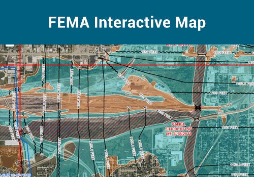
Floodplain Interactive Map
Use this map to view FEMA's digital flood hazard data and community information relating
to floodplain management.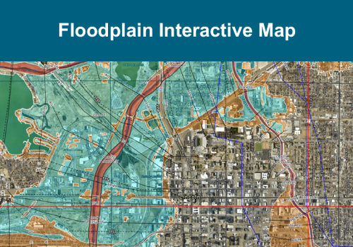
NEW Floodplain Interactive Map
A new interactive map is available for testing and will launch in mid-May. Use this map in place of our existing interactive map to get ready for the change.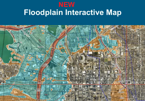
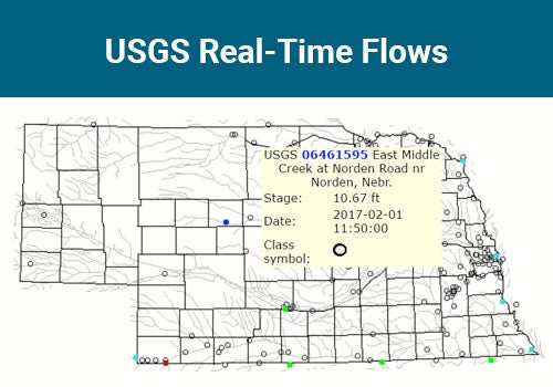
Nebraska Real-time Flood Forecasting (NeRFF)
Use this map to view additional flood hazard information including current and forecasted stage heights,
flood inundation boundaries, current weather alerts and radar, and much more. 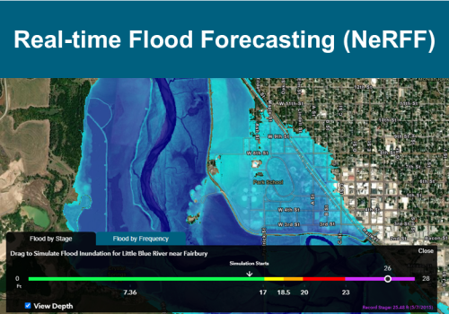
Other Maps