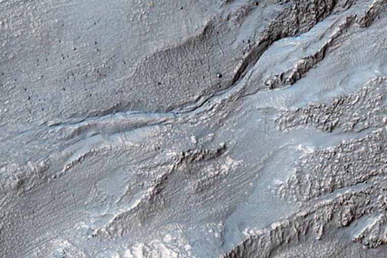
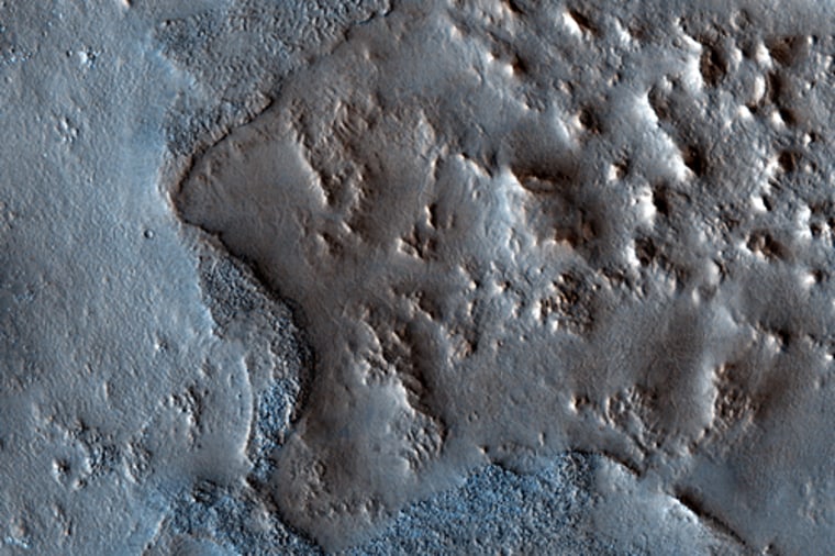
The HiRISE camera on the Mars Reconnaissance Orbiter consistently beams down mesmerizing high-resolution images of the Red Planet. Now, the scientists who study the images have stitched together the latest public release into this cool video set to a groovy "Sanskrit" tune they grabbed from Apple's GarageBand. Let's take a virtual tour ...
The video starts with a flyover of sinuous ridges in the Aeolis/Zephyria Region. The reason these ridges look like an inverted river bed is because that's what they probably are, HiRISE team member Ross Beyer from NASA Ames Research Center explains in his commentary on the imagery.
Sometime in the distant past, lava flowed down a meandering river a channel and hardened on the bed. Then, the river dried and the surrounding landscape eroded, leaving raised river bed of hardened lava. "We can study these ridges to try and determine how much water might have flowed through this system," he writes.
Next up is the Martian south pole, where the pitted landscape is nicknamed "Swiss cheese terrain." Scientists are monitoring the residual carbon dioxide there to see how it changes over time. One spot they routinely check looks like a deranged happy face. Compared to 2007 images of the spot, the pits have grown larger.
The growth of the pits was originally thought to be a sign of climate change on Mars, but scientists now think the carbon dioxide that goes from solid to gas in the pits recondenses on nearby surfaces, so there's no net change in carbon dioxide, according to Alfred McEwen, principal investigator for HiRISE at the University of Arizona.
Moving along, the video takes us to an unusual elliptical impact crater, which upon closer examination appears to be the result of overlapping craters that formed simultaneously along with several smaller craters. McEwen explains in his commentary that such crater chains can form when the impacting space rock trajectory is almost parallel to the surface.

The eye candy continues with what are called giant gullies in the Hellas Montes region. The gullies are more like ravines that have been covered or modified by glacial flows, McEwen explains.

The final stop in this groovy tour of Mars is more sinuous ridges, this time in the North Syrtis Major Region. But instead of inverted stream channels, these ridges may be erosional remnants from material ejected from ancient impact craters, McEwen suggests. "In either case the landscape is differentially eroded, and more erosion-resistant materials cap high-standing topography," he writes.
More HiRISE eye candy:
- Amazing! Mars orbiter gets a fix on lander
- Mystery sand ripples on Mars explained
- New Mars orbiter sends its first pictures
- Good moves on Mars
- Mars orbiter spots rover's landing site
John Roach is a contributing writer for msnbc.com. Connect with the Cosmic Log community by hitting the "like" button on the Cosmic Log Facebook page or following msnbc.com's science editor, Alan Boyle, on Twitter (@b0yle).